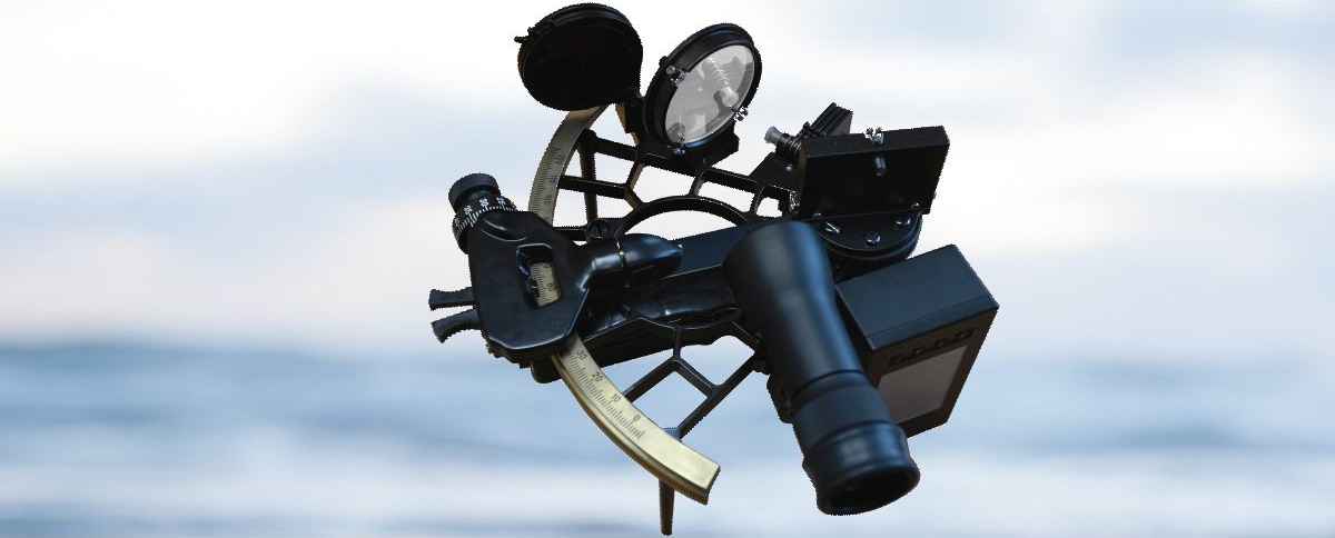
Digital sextant. Concept and implementation.
During the NEVA 2019, XV international Exhibition for civil shipping, shipbuilding, offshore energy, ports, inland waterways and oceanography in St. Petersburg, MNS LTD and Cassens&Plath GmbH (Germany) agreed on common re-engineering of the prototype of a digital electronic sextant.
The classic sextant will be supplemented by an electronic sensor of the measured angle of celestial body and a computer assemble that will make the calculation of coordinates of vessel’s position and transmission directly to the electronic cartographic navigation and information system (ECNIS).
When a sextant is interfaced with this system, coordinates are transmitted directly to the e-map and used for evaluating the navigation situation in the closest area. Moreover, ECNIS produced by AO MNS will be able to display the ship’s observed position received from the digital sextant not only, but it also already contains a sidereal map of the navigation area, and gives navigator the opportunity to make a choice of celestial bodies by optimal azimuths and heights before measurements.
The use of digital sextant will allow navigators to ensure navigational safety in areas where fixing of position by satellite navigation systems is difficult or impossible.
In the age of information technologies, an astronomical method remains the only backup method for fixing of position without radio navigation in the high seas. Therefore, it is not surprising that the sextant, invented almost 300 years ago, thanks to the all improvements will continue to serve sailors regularly even today.